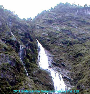
 In Nepal, the water resources are regarded us the key strategic natural resource having the
potential to be the catalyst for all round development and economic growth of the country. Nepal
has a monsoon type climate. The total rainfall varies between 1,000 to 4,000 mm with an annual
average of 1,814 mm. More than 75% rainfall occurs during four months of the monsoon period
(June - September). The total annual surface runoff has been estimated to be 225 billion cubic
meters (BCM) (equivalent to over 10,000 cubic meters per capita) of
 which 12 BCM is estimated
to be entering from the upper catchments located in China, while about 15 BCM has been
estimated to be entering into the border rivers between Nepal and India from the tributaries
located in the Indian side. The seasonal distribution of flow is extremely varied as low as 1.5% to
2.4% of total runoff in the months of January, February and March, and as high as 20 to 27% in
the months of July and August for snowfed rivers, while these figures for purely rainfed rivers are months of March, respectively 0.5% to 3% in the April and May and 20% to 30% in the months of JULY and AUGUST.
There are seventeen river basins in the Nepalese river system covering a total drainage area of 191,007 km2 of which 22% or 42,030 km2 lies in China and 5% or 9,850 km2 is in India. Karnali, Sapta Gandaki and Sapta Koshi are the major
 river basins with their origins in the Himalayas and
account for around 80% runoff. The Babai, West Rapti, Bagmati, Kamala and Kankai are
medium river basins accounting for about 7% of the runoff. The southern rivers, with origins in
the Siwalik Hill Range, are Bering, Balan, Khutiya, Pathraiya, Lal Bakaiya, Ratu, Sirsia,
Manusmara and Banganga. These rivers are seasonal with little flows during non-monsoon
periods. The Mahakali and Mechi rivers form the western and eastern frontiers with India.


0 comments:
Post a Comment